Turning Geospatial Intelligence IntoIndustry Advantage

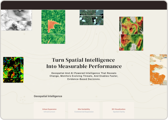
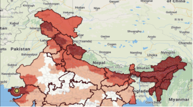
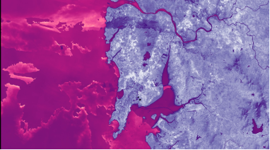
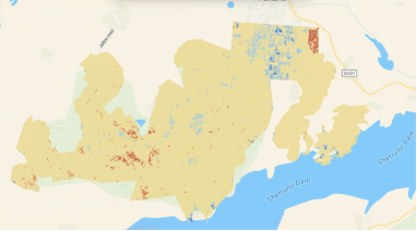
From agriculture fields to national infrastructure networks, AIQ delivers intelligent Earth observation systems tailored to operational challenges across industries. We combine satellite intelligence, AI-driven analytics, and real-time geospatial monitoring to help organizations predict risks, optimize assets, and make faster decisions with confidence.

01
Mapping
02
Fleet management
03
Terrain & air survey

Defence

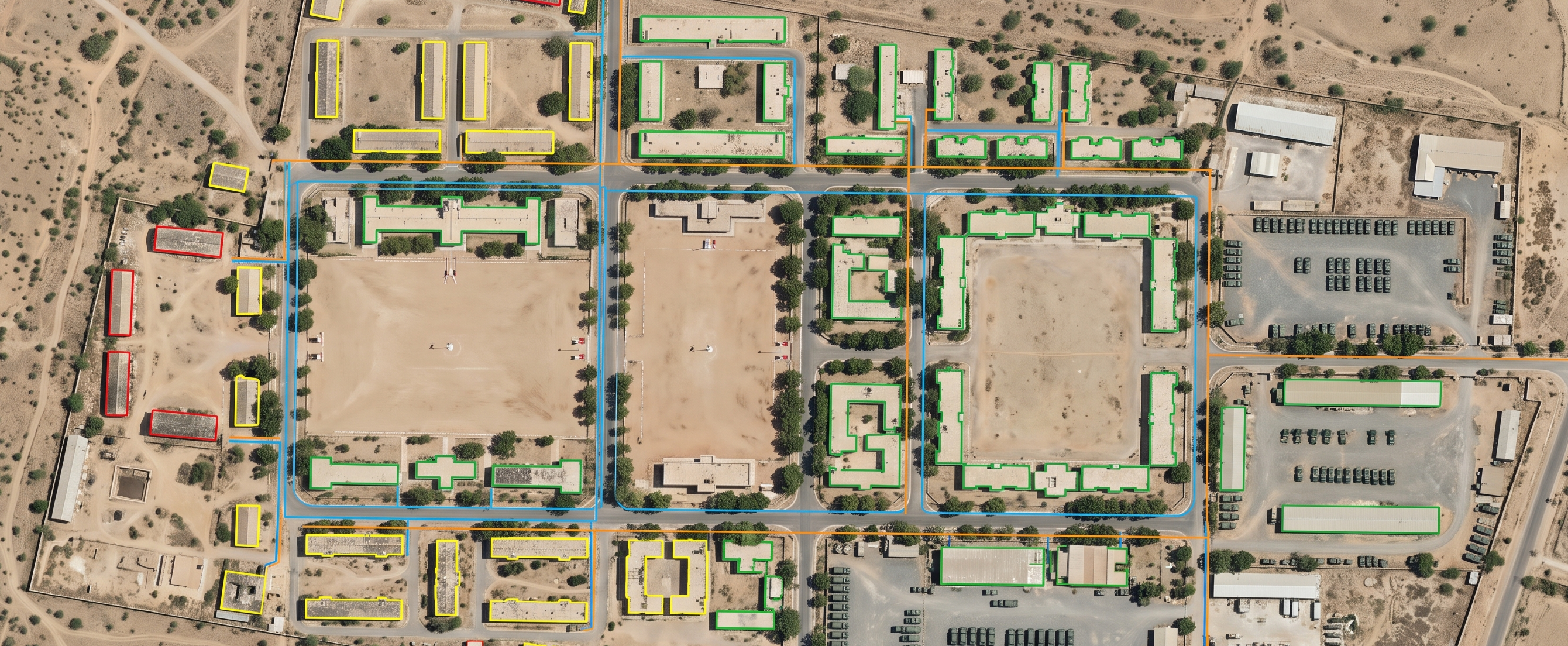
Enable mission-ready operations with geo-accurate intelligence, real-time vision analytics, autonomous systems, and advanced terrain modeling. Support strategic planning, situational awareness, and fleet optimization through AI-powered geospatial intelligence.

Defence aerial operations
01
Crop health
02
Soil & irrigation
03
Yield prediction

Agriculture

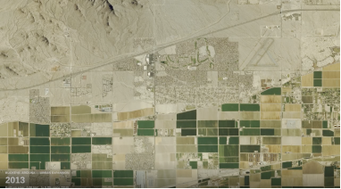
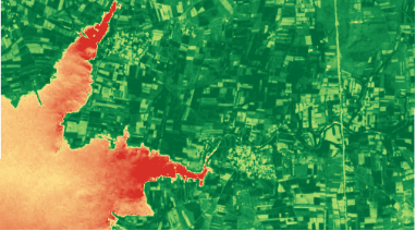
Transform agricultural operations through satellite-powered crop monitoring, soil intelligence, and AI-driven yield forecasting. Real-time geospatial analytics deliver plot-level insights that enable precision farming and data-driven decision-making at scale.

Precision agriculture field
01
Urban planning
02
Site suitability
03
Disaster management

Infrastructure

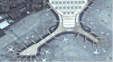
Empower resilient infrastructure development with predictive geospatial analytics, site suitability modeling, and disaster risk intelligence. Help planners and decision-makers design smarter cities, optimize investments, and strengthen long-term sustainability.

Urban infrastructure bridge
01
Emission control
02
Air quality control
03
Site selection

Energy

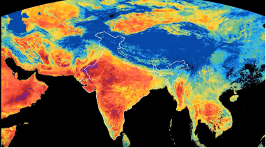
Optimize energy infrastructure planning with AI-driven site selection, environmental intelligence, and real-time emissions monitoring. Leverage predictive analytics and automated anomaly detection to improve operational efficiency and sustainability outcomes.

Energy infrastructure
01
Flight path planning
02
Live aerial feed
03
Infrastructure Inspection

UAV Operations

Deploy UAVs that see further and decide faster. Optimize flight routes, coordinate field teams, and monitor critical assets in real time - turning every flight into actionable Geospatial Intelligence. Reduce survey time, cut operational costs, and strengthen network resilience across your infrastructure.

UAV field operations
01
Pipeline monitoring
02
Anomaly detection
03
Risk & compliance

Oil & Natural Gas

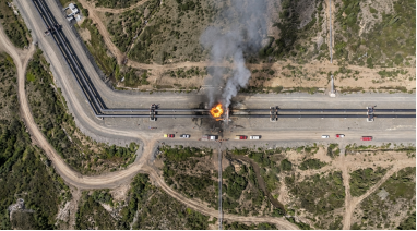
Your pipelines don't sleep, neither should your monitoring. Experience round-the-clock visibility, automated anomaly detection, and predictive risk modeling across upstream, midstream, and downstream assets. Catch failures before they escalate into costly downtime or environmental damage.

Oil and gas pipeline aerial monitoring
01
Mineral exploration
02
Risk & terrain mapping
03
Yield & value analysis

Mining

Every rock tells a story. We decode it - revealing mineral potential, risk zones, and value before anyone else can. From exploration to extraction, make decisions powered by clarity and accuracy, backed by satellite and geospatial intelligence across the full mine lifecycle.

Open-pit mining aerial view

Start your journey with AI-powered Geospatial Intelligence.

Precision mapping, multi-layer analytics, and enterprise-grade insight, engineered for teams that demand more.