
From Location Awareness ToDecision Excellence
AIQ transforms complex geospatial ecosystems into intelligent decision environments where satellite imagery, AI computation, sensor networks, and digital twins converge to power real-world action. From monitoring moving assets to predicting environmental shifts, our platform enables organizations to operate with greater speed, precision, and situational awareness.
Platform
 Multisource Data Visualization & Processing
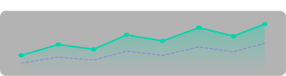
 Time Charts & Change Graphs
 Interactive Shareable Maps
Live streamHistorical
JanMarMayJulSepNov
Big Data
Processing Engine
 Survey Guide Data
 Reliable & Scalable Infrastructure
 AI Detection & Prediction Models
Our Chat Agent
Shiv AI
An autonomous, event-driven multi-agent orchestrator reasoning across 93 geospatial data sources - imagery, climate, terrain & infrastructure. Validated by 236 automated tests before every release.
Agentic Reasoning Loop
Pre-Execution Validation
Automated Quality Scoring
Anomaly & Contradiction Detection
Customise Platform
Integration and Tech stack
Seamlessly integrating industry-leading technologies and platforms.
Building a connected ecosystem for scalable Geospatial Intelligence.